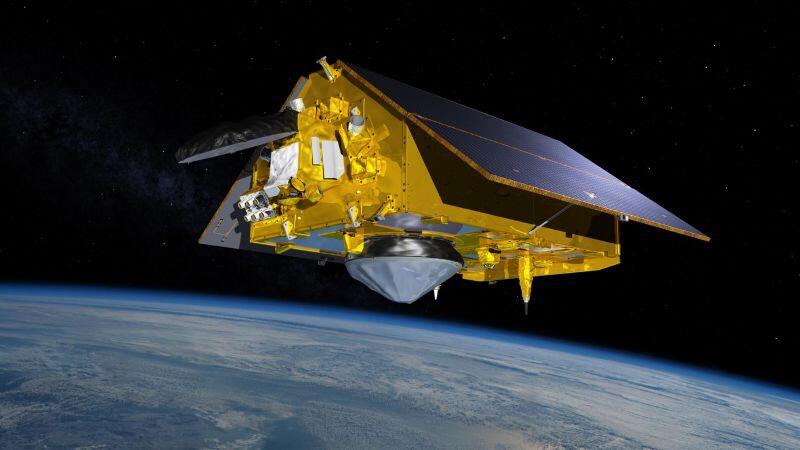
Artist’s concept of Sentinel-6 Michael Freilich in orbit. Its twin, Sentinel-6B, will become the reference satellite for sea surface height missions.
Credit: NASA/JPL-Caltech
HOUSTON— Launched Nov. 17, 2025, the NASA and European Space Agency’s (ESA) Sentinel-6B satellite has completed calibration to become the global go-to data source for sea level rise, a role it will assume in January as El Nino—a naturally occurring warming of waters in the central and eastern...

Subscription Required
Sentinel Satellites To Monitor Strengthening El Nino is published in Aerospace Daily & Defense Report, an Aviation Week Intelligence Network (AWIN) Market Briefing and is included with your AWIN membership.
Already a member of AWIN or subscribe to Aerospace Daily & Defense Report through your company? Login with your existing email and password.
Not a member? Learn how you can access the market intelligence and data you need to stay abreast of what's happening in the aerospace and defense community.
Related Content