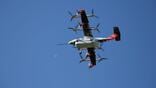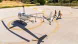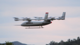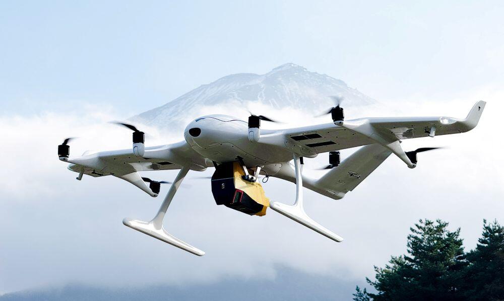
In a 45-min. flight, the Wingcopter 198 can scan 1,000-plus hectares, Wingcopter says.
Credit: Wingcopter
Wingcopter of Weiterstadt, Germany, plans to deploy its vertical-takeoff-and-landing (VTOL) drones to Japan for aerial surveying for preventing and assessing damage from disasters. The deployment of the drones is part of a planned partnership with Itochu Corp., Pasco Corp. and YellowScan Japan Co...

Subscription Required
Wingcopter Drones To Be Deployed For Aerial Surveying In Japan is published in Advanced Air Mobility Report, an Aviation Week Intelligence Network (AWIN) Market Briefing and is included with your AWIN Premium membership.
Already a member of AWIN or subscribe to Advanced Air Mobility through your company? Login with your existing email and password
Not a member? Learn how to access the market intelligence and data you need to stay abreast of what's happening in the air transport community.
Related Content