Sustaining the Earth from Space
June 16, 2021

NASA is planning to spend $2.5 billion on five new spacecraft to monitor the changing climate. The first mission, to launch in January 2023, is a partnership with the Indian Space Research Organization drawing on two kinds of radar systems that can measure changes in the Earth’s surface at less than a half inch. The first mission is called NASA-ISRO synthetic aperture radar or NISAR and will measure ice-sheet collapse, earthquakes, volcanoes and landslides. Ultimately, NASA’s new Earth System Observatory seeks to create a three-dimensional, holistic view of Earth, from bedrock to atmosphere. The agency will design a set of missions to study climate change, disaster mitigation, forest fire prevention and farming.

The U.S.’s National Oceanic and Atmospheric Administration (NOAA) has asked Congress to invest $2 million to expand next-generation satellite systems to deliver climate, weather, atmospheric and oceanographic information. That would expand the use of NOAA’s existing satellites and partner systems to study climate change trends. In March, NASA selected L3Harris Technologies and Raytheon for one-year Geostationary and Extended Orbits (GEO-XO) Imager (GXI) study contracts. The resulting imager instruments are planned to fly on NOAA’s GEO-XO geostationary satellites that would launch beginning in 2032 and expand on NOAA’s Geostationary Operational Environmental Satellites (GOES-R).

Planet, which operates a massive constellation of small satellites called Doves, is pressing the U.S. government to leverage data companies such as itself to build its knowledge of climate change. It would like to see the government boost investment in data fusion to capitalize on datasets from multiple satellites within the U.S. government, in private industry and in the European Space Agency and elsewhere.

As an arctic nation, Canada has an interest in monitoring changes in the amount of ice in its navigable waters—with its own agency, the Canadian Ice Service, to keep track. The office draws on streams of data from multiple satellites—primarily the Canadian Space Agency’s RadarSat-2, but also NASA’s Landsat and ESA’s Sentinel system, according to Euroconsult. The ice service also buys data sets about 10 times a year for higher-resolution imagery, primarily from the Italian COSMO-Skymed and the German TerraSAR-X.

The European Space Agency is working with Inmarsat to develop a satellite-based air to ground communication system for optimizing air traffic management in a way that would reduce carbon dioxide emissions and save fuel. Simulations of the Satellite Communications for Air Traffic Management system, also known as Iris, found in November 2020 that the approach taken by could support air traffic through 2040, based on conservative predictions of growth in air travel. It is expected to reach initial operations in 2022.

The Japan Aerospace Exploration Agency (JAXA) and NTT Data Corp. are studying how to more precisely create 3D mapping of the world using laser altimeters mounted on spacecraft. The idea is to create the most precise global digital elevation models of forested areas for environmental assessments but also to create other applications such as virtual models of cities. This image shows an area of potential flood risk based on digital terrain models.

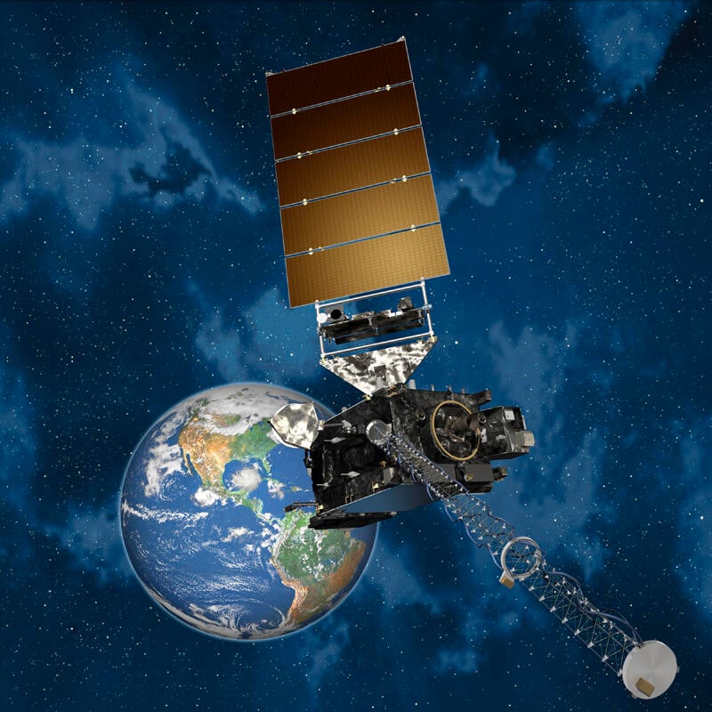
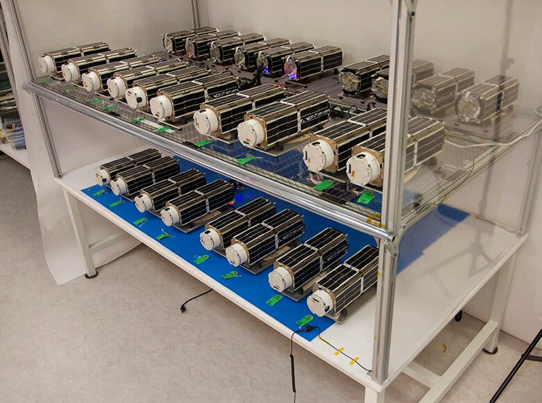
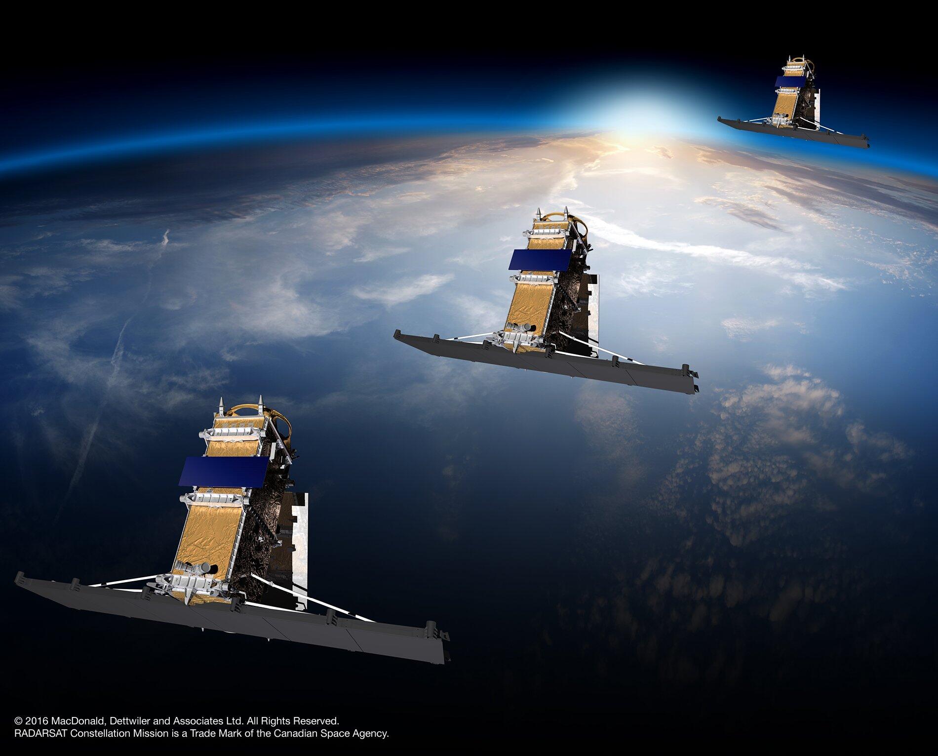
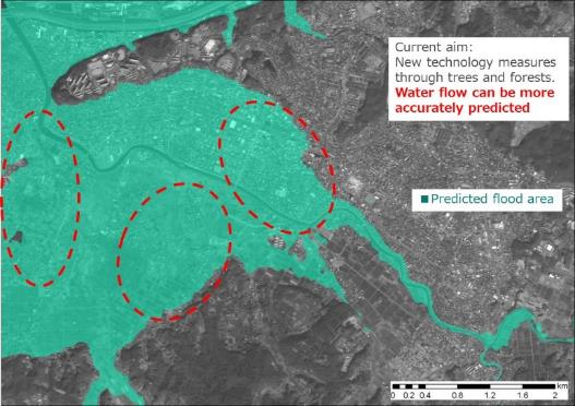
The global market for Earth observation services, data and intelligence is booming, expected to reach $8 billion by 2029, according to Euroconsult. Though more than half of that market is driven by defense needs, a growing number of small satellite companies and government initiatives are monitoring environmental change from space and pulling down more and more data that sheds light on how humans can better protect the planet. This is a small sampling of efforts underway to do just that.