Path of Destruction
Credit: CNES/Astrium Services/Spot Image
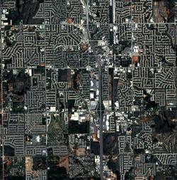
These satellite images, taken less than a month apart by France's new Pleiades optical-imaging spacecraft, show the mile-wide trail of devastation left by the EF5 tornado that tore through Moore, Okla., on May 20. The image on the left was collected on April 29, and the one on the right on May 23...
Subscription Required
This content requires a subscription to one of the Aviation Week Intelligence Network (AWIN) bundles.
Schedule a demo today to find out how you can access this content and similar content related to your area of the global aviation industry.
Already an AWIN subscriber? Login
Did you know? Aviation Week has won top honors multiple times in the Jesse H. Neal National Business Journalism Awards, the business-to-business media equivalent of the Pulitzer Prizes.
Related Content