Credit: Woolpert
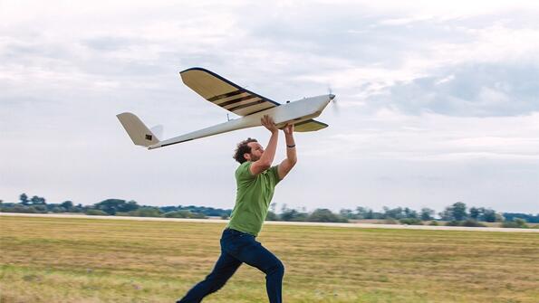
Satellite imagery will be used to cue unmanned aircraft to take a closer look according to plans being developed by aerial photogrammetry specialist Woolpert. The company has approval from the FAA to begin limited UAS operations in the U.S. and a commercial agreement to use data from Planet Labs’...

Subscription Required
This content requires a subscription to one of the Aviation Week Intelligence Network (AWIN) bundles.
Schedule a demo today to find out how you can access this content and similar content related to your area of the global aviation industry.
Already an AWIN subscriber? Login
Did you know? Aviation Week has won top honors multiple times in the Jesse H. Neal National Business Journalism Awards, the business-to-business media equivalent of the Pulitzer Prizes.
Related Content