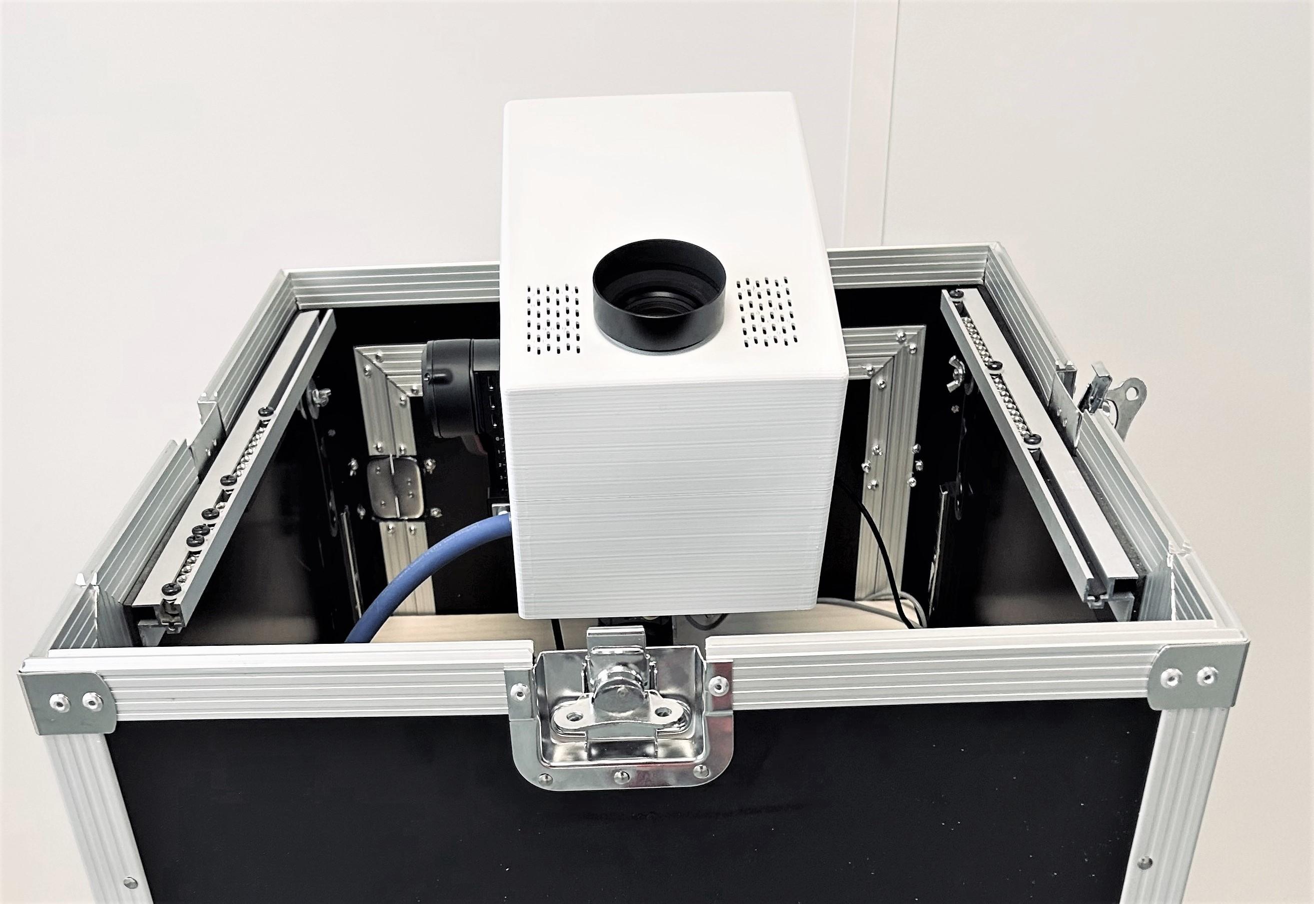
Sodern Unveils Daytime Star Tracker For GPS-Denied Navigation

Sodern’s daytime star tracker prototype.

Credit: Sodern

LE BOURGET—Sodern has unveiled a daytime star tracker system to provide celestial navigation in daylight, targeting military applications at first to help aircraft navigate in GPS-denied environments. 

Sodern, which produces sky trackers for satellite applications, developed the new system over several years, basing the technology on celestial trackers that are used by one-third of commercial satellites in orbit. 

The system uses an off-the-shelf inertial measurement unit with new tracking imaging sensors, which are able to detect stars in “extreme luminance conditions and within harsh environments,” the company says in an announcement. The technology has been demonstrated in France in 2020 with the military’s Directorate General of Armament. 

Vincent Dedieu, the company’s deputy CEO and chief operating officer, says Sodern has been funding the development internally and created a prototype on display at the Paris Air Show here. 

Using celestial navigation will be relevant in GPS-denied environments where military aircraft will likely operate in conflict, and Dedieu says an initial application could be with medium-altitude, long-endurance remotely piloted aircraft. These aircraft fly above the clouds and at an altitude with limited atmosphere for a clearer look at the daytime sky. As the system develops, it could also be useful for ships, military vehicles and commercial aircraft.

Brian Everstine

Brian Everstine is the Pentagon Editor for Aviation Week, based in Washington, D.C. Before joining Aviation Week in August 2021, he covered the Pentagon for Air Force Magazine. Brian began covering defense aviation in 2011 as a reporter for Military Times.