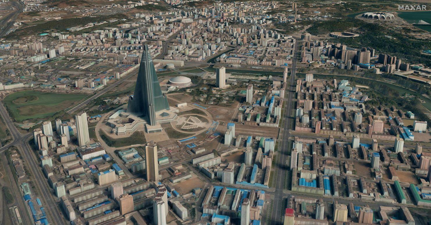
Satellite-based photogrammetry promises detailed 3D maps of places inaccessible to the U.S. military, such as North Korea.
Credit: Maxar
Maxar Intelligence has received a contract from the National Geospatial-Intelligence Agency to provide satellite-based, commercial 3D map data of the U.S. Indo-Pacific Command area of responsibility. As private satellite operators have become more sophisticated–and the remote sensing information...

Subscription Required
Maxar To Provide 3D Maps Of Indo-Pacific Command Area is published in Aerospace Daily & Defense Report, an Aviation Week Intelligence Network (AWIN) Market Briefing and is included with your AWIN membership.
Already a member of AWIN or subscribe to Aerospace Daily & Defense Report through your company? Login with your existing email and password.
Not a member? Learn how you can access the market intelligence and data you need to stay abreast of what's happening in the aerospace and defense community.
Related Content


