There are many sectors of aviation that regularly venture into the mountain environment. For business aviation, it often means flying into luxurious resorts such as Aspen or St. Moritz. In the emergency medical services sector, it means dispatches into foreboding terrain, often when threatening weather is likely. Pilots engaged in heli-construction, aerial tours or natural resource management can spend considerable portions of their careers flying in mountain settings.
Flying in this environment is filled with meteorological risks that can be unforgiving. High density altitudes, abrupt changes in winds, localized weather and confined maneuvering room all combine synergistically to shave safety margins razor thin. These margins demand expert decision-making.
However, the route to gaining “enough” experience in this high-risk environment can be unforgiving. The aviation accident rate in mountainous regions clearly indicates that this is not a low-risk training environment. “Sparky” Imeson, author of the popular book titled Mountain Flying, experienced not one but two accidents while giving dual instruction in mountainous terrain. Sadly, the second accident was fatal while Imeson was attempting to teach the student about the winds creating “lift” along a ridgeline.
Is there a teaching opportunity in which pilots can effectively learn insightful lessons about meteorological threats in the mountain environment without the risks? Perhaps there is.
Convective Air Currents
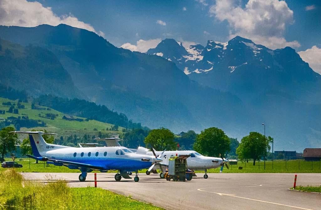
Example No. 1 occurred in May 2019 during a Global Engagement college trip with 23 students. After an educational tour of the Pilatus aircraft factory, we rode a gondola to the top of Mount Pilatus, an impressive mountain that overlooks the Lake Lucerne region in Switzerland. Our host was a paragliding instructor who was preparing for an afternoon of soaring over the gorgeous landscape by utilizing the rising air currents.
Along the edge of the paraglider launching platform were small ribbons of brightly colored fabric. The instructor explained how he would time his takeoff to coincide with a rising air current. Our group was mesmerized watching him wait for the prime moments when the subtle indications of a thermal rising along the cliff face would be optimal for his leap off the steep precipice.
The small wind indicators illustrated that these rising currents were similar to a series of bubbles. At various moments they would show drafts from varying directions, to include abrupt transitions into strong downdrafts. This was an insightful contrast to soaring textbooks, which usually illustrate thermals as a continuous column of rising air.
This example correlated well with the cliff at the end of the runway at Telluride Regional Airport (KTEX). There is a warning for pilots that the airport sits on a 1,000-ft. mesa, with the “precaution of strong vertical turbulence along the mesa’s edge.”
From these elevated peaks at Mount Pilatus we had a great viewing platform to observe the various clouds to predict the types of turbulence, updrafts and downdrafts that would affect an aircraft’s performance and safety. When we returned from our hike the sun changed its azimuth. The formerly sunny side of the mountain was now immersed in shade. It was readily apparent by watching the tiny flags at the launch zone that the cliff was no longer absorbing sunlight and instead the prevailing drafts along the shadier side of the mountain had changed to downdrafts.
Shifting Winds
While standing on that viewing platform we were able to watch wind socks perched atop several of the aerial tramway towers as well as the wind indicators at the paragliding launch pad. Often, one of the students would point out, “Oh, hey, look at how that wind sock on the third tower is showing a wind coming from the east, but the wind sock on top of the next tower just shifted to winds coming from the west.”
This led to a lively discussion about the effects on the performance of a helicopter with a wind shift from a 10-kt. headwind to a 10-kt. tailwind. A vivid example of this occurred in the dramatic rescue attempt of stranded mountain climbers on Oregon’s Mount Hood on May 30, 2002. A Sikorsky HH-60G helicopter from the Portland Air National Guard was hovering at the 10,700 ft. MSL level along the slopes of the mountain when it experienced a sudden loss of favorable headwinds, which led to a loss of translational lift. The helicopter subsequently impacted the steep terrain and rolled down the mountainside before it came to a rest. Thankfully the pilot, copilot, flight engineer and four para-rescue specialists all egressed safely with non-life-threatening injuries. The official accident report found that changing winds contributed to the crash, and that the mishap crew either lacked an understanding of or did not adequately consider the effects of unpredictable mountain winds on flying performance.
Recirculation Zones
You probably know that the airflow in the lee of an obstacle is often turbulent. There is an additional aspect of this leeward airflow that creates additional threats to aircraft stability and control. Small vortices are shed from the edges of obstacles and move with the wind. As the vortices flow downwind, they can temporarily change the direction of wind flow indicated by a wind sock. During one instant, the wind sock may indicate winds from one direction, and moments later indicate winds from an entirely opposite direction.
Normally, these air flow disturbances are invisible in clear air. Fortunately, the location of these recirculation zones and shed vortices is made apparent when the winds at ridgetop capture loose snow. The loose snow provides a visible marker so that the motion of these vortices is easy to observe. It is also possible to watch these recirculation zones when a series of wind socks are conveniently located nearby, such as is the case with ski lift towers.
While sitting comfortably inside the cable car station at the top of the Klein Matterhorn (which is adjacent to the famous Matterhorn peak) we watched these shed vortices flow down along the glacier-covered slopes. They appeared to be miniature twirling horizontal tornadoes. The students observed wind socks atop the adjacent gondola towers indicate erratic winds. Clearly the winds on the lee side of this ridge were creating recirculation zones full of turbulence and chaotic wind directions.
There are many ways in which this downwind wake creates hazards to aviation. The turbulent airflow can make control of an aircraft more difficult. Rapidly changing upward then downward air currents make flight path control more challenging, as well as creating near instantaneous changes in the angle of attack. Sudden gusts of wind and then the abrupt cessation of the gust changes the airspeed of the aircraft. The comparatively small vortices can actually change the airflow over different parts of a hovering helicopter so that the airflow over the tail rotor would be opposite of the nose. This in turn heightens the possibility of a loss of tail-rotor effectiveness for a helicopter due to wind from an adverse azimuth.
There are many other direct correlations of this phenomenon. An aircraft making an approach in the lee of tall buildings or trees is liable to encounter these erratic winds. Wind socks placed in locations that are susceptible to disturbance from nearby obstacles will render inaccurate wind direction information.
In Part 2, Patrick Veillette will discuss rapidly changing localized weather and micro-climates.

Related Content