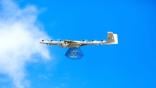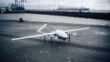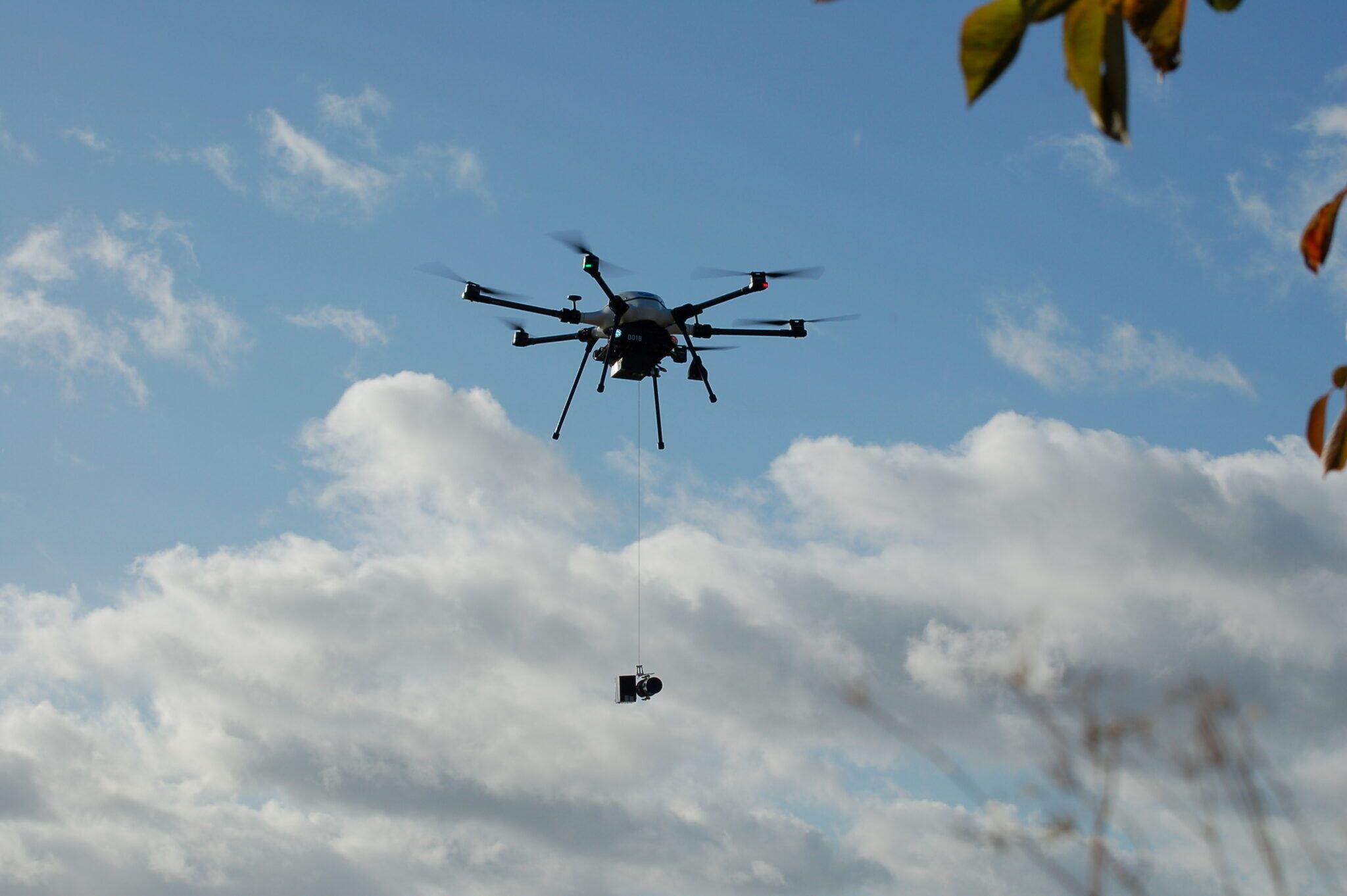
Skyports is using the Speedbird Aero multirotor drone for waterway inspections in the UK.
Skyports Drone Services has completed a series of test flights aimed at inspecting and monitoring the quality of river and coastal waterways in the UK, marking the latest in a series of initiatives aimed at proving out the viability and cost savings of commercial drone applications.
The six-week flight trials were part of the first stage of a multiphased collaboration between Skyports, cloud data company Makutu and Northumbrian Water, which provides water and sewage services to around 2.7 million people in the UK. The flights took place at three locations consisting of a riverway, coastal area and an estuarine, or the area where river and ocean waters meet.
The flight trials were conducted using the Speedbird Aero multirotor drone, a recent addition to Skyports’ fleet, which has been modified with a special winch and water sensor technology. After being lowered into the water, the sensor conducts live data analysis, which is then relayed via a 4G wireless network back to a lab operated by Northumbrian Water.
The drone can collect data from multiple test locations on a single outing and on a single battery charge before returning to its base, according to Skyports.
The first phase of the collaboration involved a visual observer on the ground helping to guide the drone and communicating with the operator. In the next phase, the company hopes to obtain regulatory approval to conduct beyond- visual-line-of-sight (BVLOS) operations, the company says.
Speaking to the AAM Report, Alex Brown, director of Skyports Drone Services, said that using drones for aerial inspection of waterways can enhance efficiency and reduce costs while avoiding the need to send personnel to sometimes precarious and dangerous waterways.
“The way it’s done at the moment is you’ve either got these static sensors which are permanently sending data all the time, or you’ve literally got people who go out and manually take the water samples, put it in a jar and test it back at the lab,” Brown says.
“The sensors can work well in certain areas, but they are quite expensive and there are issues around things like maintenance, land access and planning,” he adds. “And sending people to the edge of these waterways in the middle of winter is not only more expensive, but potentially dangerous.”
Achieving regulatory permissions, including crucial BVLOS authorization, from UK regulators is the first step needed to scale up and eventually commercialize waterway inspection by drone, Brown says.
“Right now, we have someone sitting at our headquarters who has the ground control station in front of them, and we’ve got a visual observer out on site facilitating a flight. That’s not scalable, and it’s not going to work as a long-term solution. So, obviously we have to get the BVLOS aspect done.”
Eventually, Brown says he envisions an automated drone-in-a-box-type solution in which boxes strategically placed across the UK could be used to monitor and inspect waterways at scale, improving cost, safety and efficiency.
“Basically the drone comes out of the box, flies beyond visual line of sight, lowers the sensor into the water, tests the water, goes to three or four other locations, goes back to the box, swaps its battery and cracks on all day,” Brown says. “That’s our vision for the end state of this, whether it comes in 2026 or 2027.”

Related Content